Three months! Shameful. I have two excuses: 1) the Yucatan and 2) the rain. The Yucatan is a good excuse... there are better things to do there than write blog entries. But I've been back from the Yucatan since March 9th, and the rain, of course, is not a good excuse.
I have been hiking, but not nearly as much as I should (It's that rain thing again. Funny how that keeps popping up). We live in Woodacre now, did I tell you that? Yeah, and a 10 minute walk from Gary Giacomini Open Space preserve, to boot. We're on Carson Rd., if anyone knows Woodacre. Arty is deeply, exuberantly happy here. We go on walks around the neighborhood all the time, and venture up into Open Space frequently. Ironically, though, the proximity to Open Space has hindered, rather than helped, the progress of the project. It's hard to stir oneself to get in the car and drive to a hike when there's perfectly splendid hiking right from your doorstep.
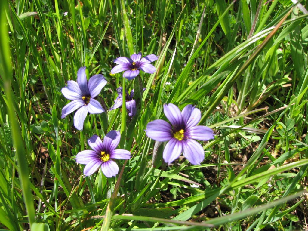
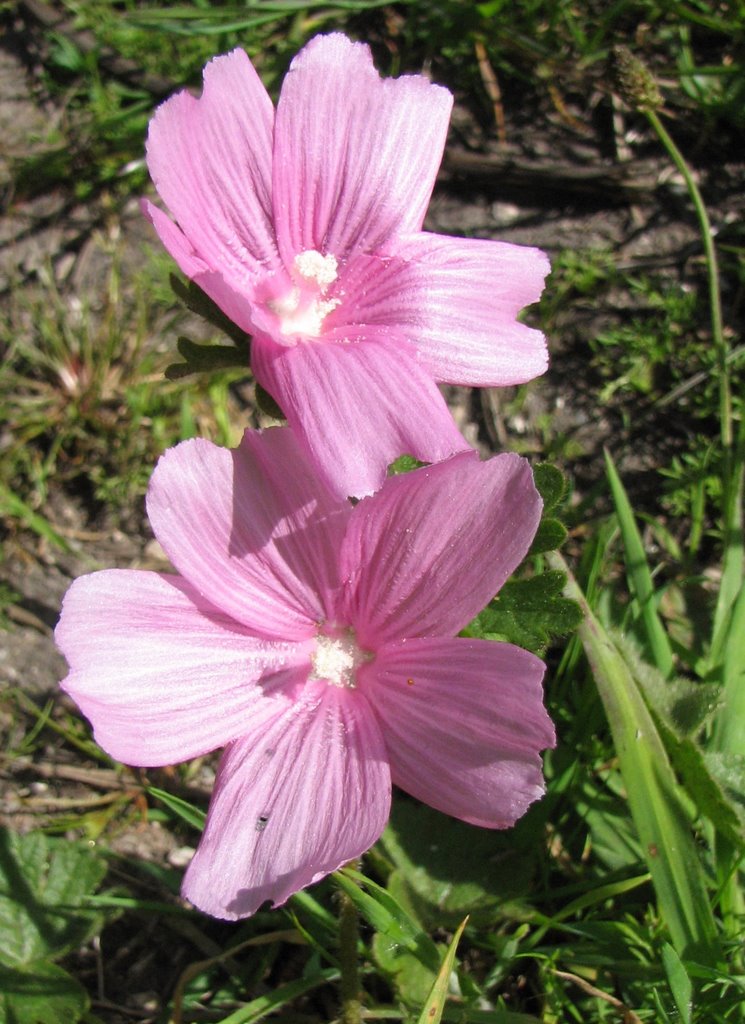
I'll tell you about what I have done. If you go up the end of Conifer Rd (which intersects Carson), that's where I generally enter the Open Space. Hike up the hill to the San Geronimo Ridge Trail and turn left toward Fairfax. One day I hiked along the Ridge trail until I got to the Cascade Canyon Fire Road. There's one spot on the Ridge Trail where there are always jackrabbits, and they always run away before Arty sees them. But then we get up to the spot where they were and Arty picks up the trail and tries to track them down, of course to no avail. Well, on this particular day, (I think it was two weeks ago, give or take) I hiked down the Cascade Canyon Fire Road until I got to the Cascade. Pondered that for a bit and then headed back up, via this little unmarked trail that's not on the map I had with me, but which is described in the Hiking Marin book (see earlier post for citation) It's quite steep, but the wildflowers are splendiferous this time of year... lots of wild iris and a maroon colored Indian Paintbrush, or maybe it was more of a raspberry... at any rate, a different color than I've ever seen for that flower. Apparently (according to the book) there's another waterfall on that trail, but I missed the turnoff for it cause I didn't have the book with me.
Another time Victor, Arty and I headed off toward Kent Lake, without a map or a clear idea whether any trail went there. If you hike up from Conifer Rd. and go away from Fairfax on the San Geronimo Ridge Trail, you come to a crossroads. Go straight, and you go up Green Hill, from which there is a view of Kent Lake. This hike is described in maybe my second or third post. Go left, and you head downhill, in a direction that kind of seems like it will get to Kent Lake eventually. And it kind of does. It was during an intermission in the rains, and there were a couple of non-trivial creek crossings. And then we got to the point where we were hiking along side one of the long easternmost arms of the lake, but had to turn around cause we were meeting a friend at 4pm. Consulted a map when we got home, and it turns out that the trail we were on would have veered away from Kent Lake pretty quickly after that anyway. You can form a longish loop, though, with the Pine Mountain Fire Road... I guesstimate that the loop would be 12 miles or so.
And then Victor and I did a series of short hikes on a cloudy, spitting Sunday down on the headlands. Walking out to Battery Spencer isn't really a hike, per se, but it sure is dern pretty. Strangely for a cloudy day the views were quite clear across the bay to the city. We went on to hike down to Kirby Cove, which we never really knew existed... there's an inviting campground there, amidst cypress and eucalyptus, right near the beach. We hung out and ate lunch with a hungry Western Gull who promptly scavenged our breadcrumbs after we left. And then, we hiked down to Black Sands Beach, which is really gnarly and washed out from all the rains... the stairs down to the beach are at a decided slant now. It started to close in and get downright nasty when we were there so we didn't spend too long. But the black sand was cool, and the only other people were three young men smoking their cigs, enjoying their cervezas, and surfcasting.

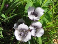
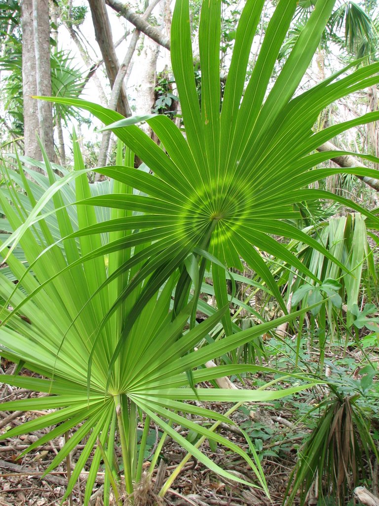
So that pretty much catches us up since I came back from the Yucatan. I don't have any pictures of any of these hikes. But I have a picture from the Yucatan. Here it is.
I'm sorry I've been bad. I'll try to be better from now on.
-Kelly